L11: Resilience of submerged macrophytes in the littoral zone of Lake Constance
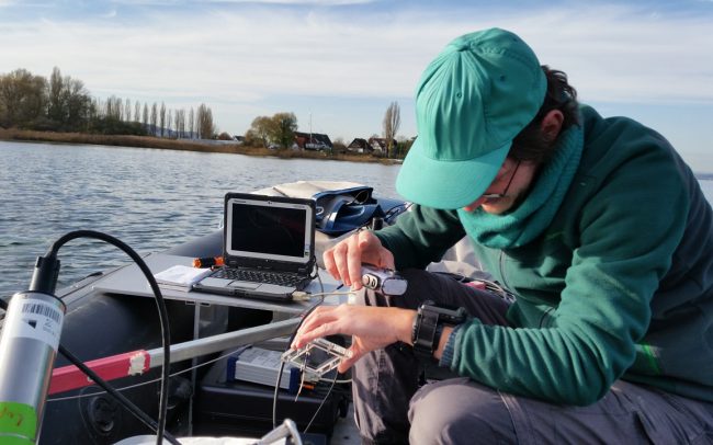
The project will map the current macrophyte stocks at species level and determine their vertical structures in predefined test areas. In addition to common field mapping methods, we will use the latest high-resolution hyperspectral cameras and laser scanners. Undergoing several process steps, the resulting data is combined to develop an automated remote sensing method for classifying and mapping submerged macrophytes.
The project will also focus on the spatiotemporal analysis of species composition and vegetation structure. For this purpose, we will transfer and compare our combined data with aerial image data of the past decades (1967, 1978, 1993). The different trophic states of Lake Constance during this period are mapped by the biodiversity and species composition, the distribution and the three-dimensional structural characteristics of the macrophytes. Their changes in space and time give information about the resilience and the reaction pattern after disturbances in the littoral ecosystem of Lake Constance.
We will also be able to derive bioindicative assessment modules from the data. These tools form the basis for developing GIS-based information on the ecological status of the littoral, which can be interpreted easily and which is relevant for planning. Using visualised remote sensing products, will ensure real-time, high-quality action planning, monitoring and reporting by authorities and water management, as well as sustainable biodiversity management.


Project team
 M.Sc. Stefan Borngraeber – PhD student (alumnus)

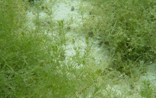
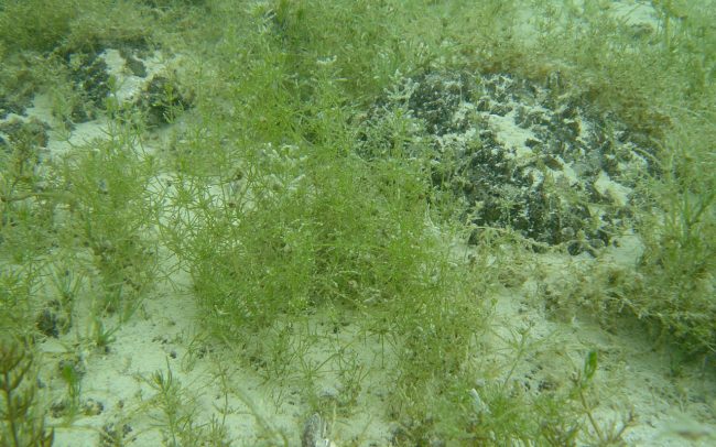
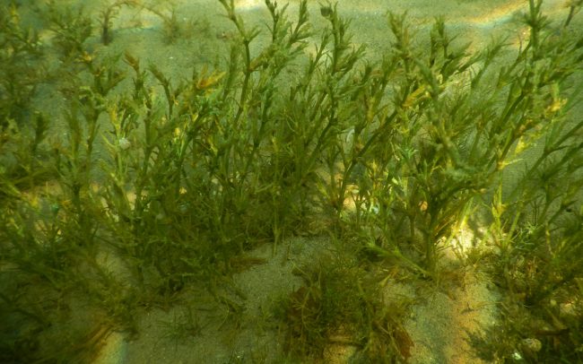
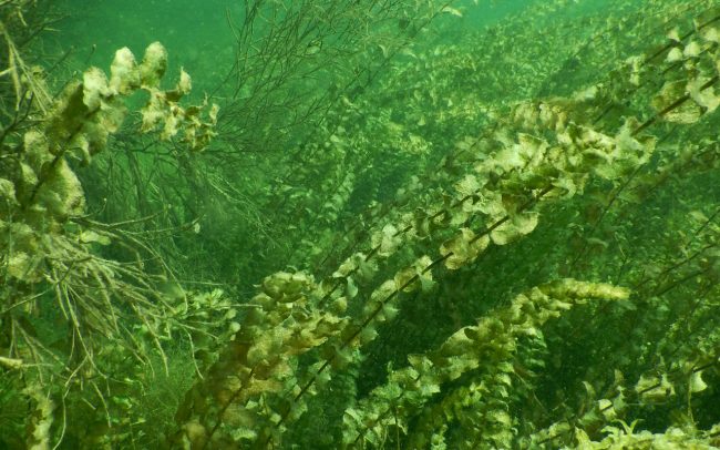
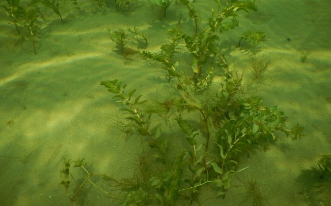
Macrophytes in Lake Constance:
Bild 1 + 2: stoneworts (Characeae)
Bild 3: water-nymphs (Najas)
Bild 5 + 6: pondweed (Potamogeton)


